Sunday 21st January 2007
Distance Walked: 24.5 miles
Start Time: 7:06
End Time: 15:20
Elapsed Time: 7:10
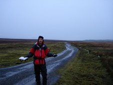
Weather: Cold and sunny. Then overcast and wet.
Distance walked so far: 153.9 miles
Weekly Audio Update: Dave on The Steve Show - Day 7
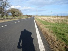
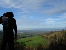
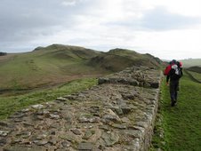
I couldn’t leave Launceston fast enough. Skipping breakfast, I snuck downstairs and was out of the door and back on the road by 7am. I didn’t care how much my knee hurt. I just wanted to get away from that place. I’d missed the walking too, after my day of immobility. There’s a great freedom to it. And there’s a strange, simple purity to this particular pursuit too. The geography of the island provides a perfect structure for an end-to-end walk and, unlike in other countries, it’s easy to break it up into manageable sections without finding yourself stranded in a wilderness, without shops or pubs or accommodation. And in Britain, there’s a variety of scenery and terrain and weather and architecture that theoretically makes each day a new experience.
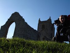
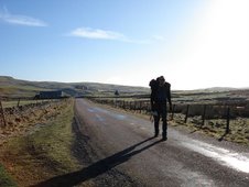
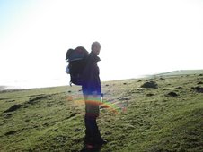
The Two Castles Trail follows an almost logical route along a succession of lanes, footpaths and villages, as it surges eastwards. Within an hour it crossed the bridge over the River Tamar, and finally I’d made it out of Cornwall and into Devon. At last, a second county. Making good progress, I reached The White Hart Inn in Bridestowe by lunchtime, so for once felt justified to stop for a pint and a rest, and to try to sort out my blistered little toe. Believing that Compeed plasters were the answer, I had swathed the little bastard in cushioning but the only effect seemed to be that the toe no longer fit into the boot and now the top of the toe was also beginning to blister. Sweet.
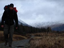
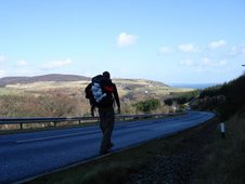
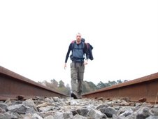
People are curious, and curious people even more so, and the sight of a large bag being carried by a dirty, limping idiot certainly catches the eye in these kind of places. Having discussed my ridiculous trek with the curious drinkers at the bar, and re-annointed my aching knees, I set off again towards Okehampton. By now the sky was darkening, and my limp was become more pronounced and the last thing I needed, particularly after my Bodmin experience, was a trek across the edge of Dartmoor, which the Trail was suggesting. Thankfully I was saved by The Granite Way, a long, flat stretch of tarmac that runs parallel with the railway line, forming part of the National Cycle Network, which carried me over the Meldon Viaduct and straight into Okehampton.
So, a week's walking completed then, but there's definitely concern about the growing discomfort. I knew that there'd be problems, but I never imagined that my legs would be dissolving quite so soon.

Song of the day:
The Decemberists
“As I Rise”
I have come a few miles /
I got blisters on my slippered feet /
As I rise, as I rise /
California’s ok /
But I think I might stay in the shade /
For a while, for a while





















6 comments:
I'd hate to be the bearer of bad news, or to put a spanner in the works but are you aware that John O'Groats isn't actually the most Northerly point?
See Wikitravel:
John O'Groats is popularly thought of as the northernmost point on the British mainland (the counterpart to Land's End in Cornwall) - although not actually the northernmost point (this honour belongs to Dunnet Head nearby), John O'Groats is however the northernmost settlement on Great Britain.
So whatcha gonna do??
crumbs. that's torn it. better cancel it then.
test
test again
I've been to Dunnet head as I did go to john o groats myself once. It was kind of cheating though as it was in the car, plus I was fairly close by to start with as I was visiting some relatives in Inverness. The Stacks of Duncansby are within walking distance of john o groats (but I suppose, seeing as you set of from land's end everywhere is within walking distance to you) and well worth seeing.
Also, i've heard that walking from lands end to john o groats is quite easy, it's the lap of honour that's the hard part.
Curbo
The beauty of Wikipedia is that you can edit the content. Simply remove the references to Dunnet Head and all is well.
Good luck.
Post a Comment