Friday 9th February 2007
Distance Walked: 20.2 miles
Start Time: 7:35
End Time: 14:50
Elapsed Time: 7:15
Weather: Snow. Fog.
Distance walked so far: 523.8 miles
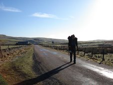
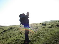
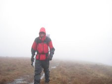
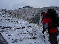
The classic first day of the Pennine Way starts with a gentle upward slog through the fields from Edale towards Upper Booth and the hills above. This is popular walking country, but again I was alone, and with just a light covering of snow on the ground I tracked up Jacob’s Ladder into the icy wind and dense mist on the top. This is the start of the North. The differentiation is difficult to define. There are big hills in the South. There’s challenging weather in all parts of the country. But in the North, the hills are relentless, the weather is more extreme, more often. The red contour lines on the maps now proliferate. The North is hard and harsh. I walked through it.
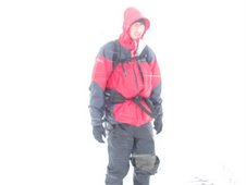
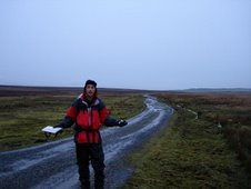
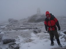
Through Kinder Low, and past the frozen Kinder Downfall. Navigation was tricky in places, but my trust was in my little GPS friend, clutched tightly in gloved hand. Up onto the more exposed moor, where the snow was drifting and the wind drives into the face. To protect the peat bogs, and to protect the walker from disappearing into the peat bogs, a winding stone pavement has been laid in the more desolate areas and it’s relatively easy to make rapid progress. This path leads over the Snake’s Pass road and into Bleaklow. Here the scenery changes, although with reducing visibility all that could be seen was the nearest grassy hillock and the dark peat channel that runs through it.
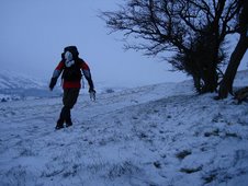
This is one of the harshest, most unforgiving areas of the country. Under white skies, with the sinister mist dropping, it was easy to believe that people could vanish here. The ground, though, was largely frozen, and the danger of disappearing into the bog below was reduced. Snow-covered ice on the rocks was the biggest risk and, having crashed to earth on a number of occasions, my steps were increasingly wary. Finally, as the wind and sleet began to increase, I slid down off the moor towards the Longdendale Reservoirs.
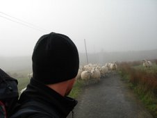
I’d assumed that if any area of the country was geared towards supporting the needs of walkers, then this was it. But I’d learned whilst at Castleton that the recommended stopping point for the first night on the Pennine Way, the Youth Hostel at Crowden, was closed, so a three mile detour along the Trans Pennine Trail cycle path was required. This took me to Hadfield, the real Royston Vasey where, fittingly, there were no places for non-locals, so back I looped to Padfield. There, two of the three B&Bs were full, but I was saved from a night in a snowy field by the third, the White House Farm, where I attempted to dry my pants and gird my loins. Outside though, the snow was again beginning to fall.
Song of the day:
Radiohead
“How to disappear completely”
In a little while /
I’ll be gone /
The moment’s already passed /
Yes it’s done /
And I’m not here /
This isn’t happening
Radiohead
“How to disappear completely”
In a little while /
I’ll be gone /
The moment’s already passed /
Yes it’s done /
And I’m not here /
This isn’t happening





















3 comments:
Dear Dave,
Thank for your answering me about the pants situation. Good to know that at least every 1.4days you are clean.
Next question. What has been your best and worst moment so far?
I also heard the Steve Marchant show on the radio and you mentioned something about golf in the Midlands. Did you play golf?
Did walking the course count as part of the walk?!
This is a local comment for local people, we'll have no shouting here!
Thanks again for your brilliant questions Mr Monthly.
The best moment so far was undoubtedly when I stumbled across the trig point on Black Hill in the snow, as I then started to believe I'd be able to make it off the hill in one piece.
The worst moment was probably either seconds before that when I was seriously starting to get worried, or on the seemingly endless limp into Glastonbury when my knees and toes felt like they were fslling off.
I didn't play golf in the Midlands. I was, however, aware of a possible attempt to sabotage the walk using the means of golf balls. Thankfully, this did not happen.
Post a Comment